This ongoing project was funded through a grant from the Bureau of Land Management, Arizona Strip District.
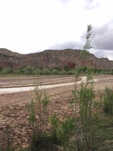
The project is intended to develop recommendations concerning that section of the Armijo Route traversing the Arizona/Utah borderlands, from Glen Canyon National Recreation Area on the east to the Mesquite, Nevada area on the west.
Results of the project will include: refined Armijo Route alignment recommendations in this area – especially in the area of the Beaver Dam Mountains area of AZ and UT, the Hurricane Cliffs area of UT, and the Cockscomb area of UT; recreational opportunity recommendations throughout the entirety of the study area; and siting of potential interpretive waysides throughout the study area.